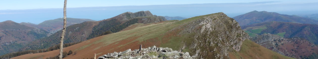
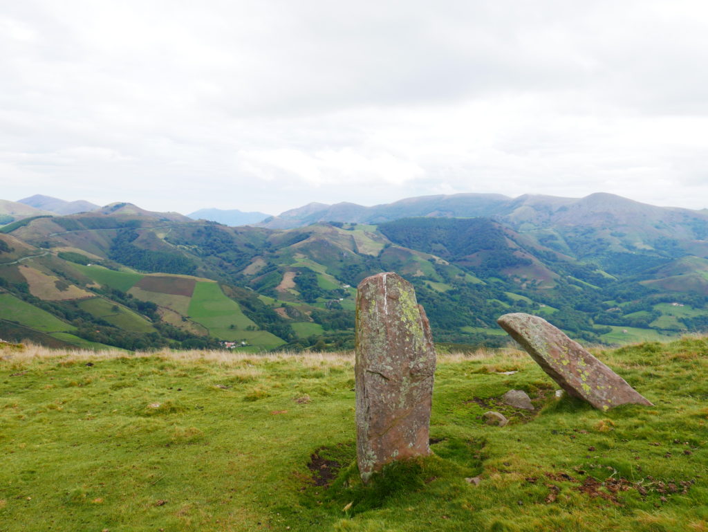
A fine rocky peak with stunning views and megalithic menhirs.
350m of ascent, 2 hours 30’
ACCESS
Follow the road from Dancheria towards Pamplona and 1/2km after the Otxondo Pass you find a turn to the right and a car park with toilets and water. 600m
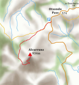
WALK
Walk SW along the road and after 10’ a farm track joins from the left.
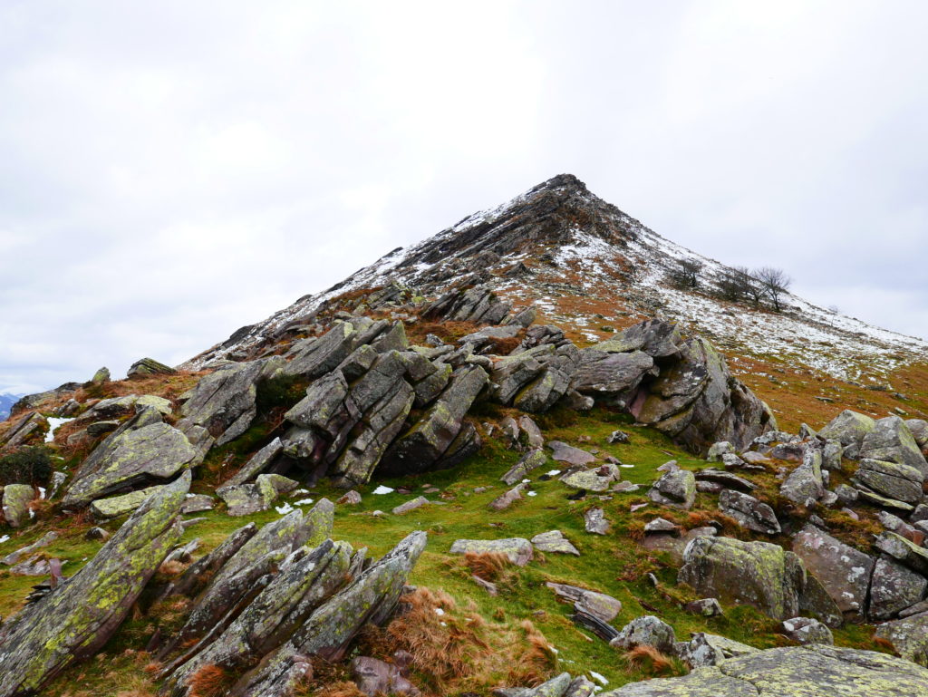
10’ Signpost ‘Alcurrunz’. Climb up the grassy ridge towards the summit leaving a horizontal stone cross to your right. Follow the green & white waymarks as the ridge becomes rocky.
45’ Col, 764m. Standing menhirs. Follow the waymarks west initially as the path flanks the side of the summit.
1hr 10′ Col. Turn N back up the grassy slope towards the summit. Take the steps up the summit rocks past old fortifications and solar panels. A tunnel provides access to an underground fort.
1hr 30’ Alcurrunz 934m 0621230 4786386 – Large cairn with message box. Retrace your steps to return in one hour.
2hrs, 30’ Return to starting point